





01 · Nature Scanning
Locate sensitive areas and high-risk sites
Map business sites, assets, and supply-chain locations to define the nature-risk analysis boundary.
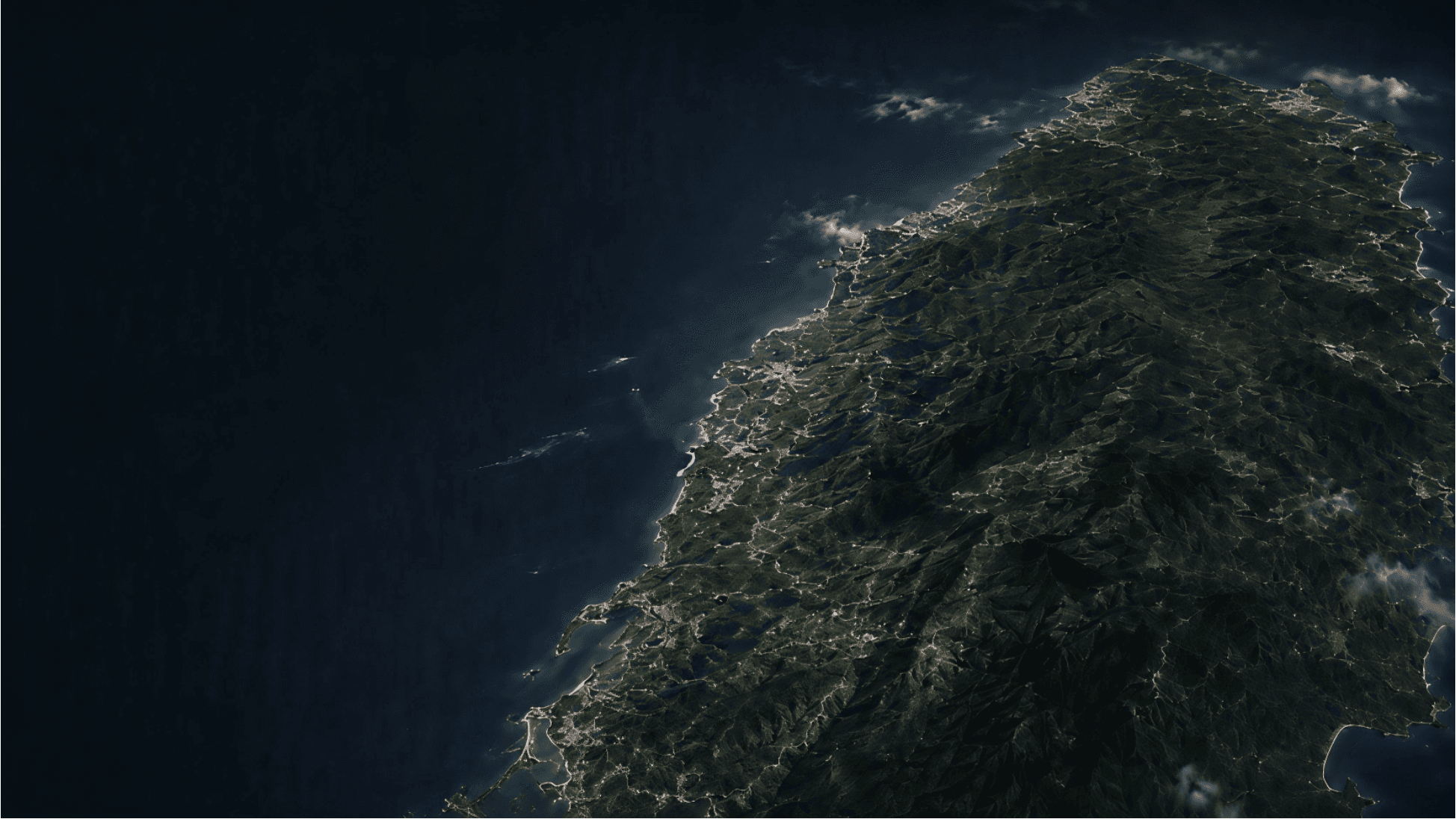
Use satellite imagery, AI, and local environmental data to quantify natural sensitivity, biodiversity, forest change, and physical exposure.
Turn the state of nature into decision intelligence that can be monitored and acted on.
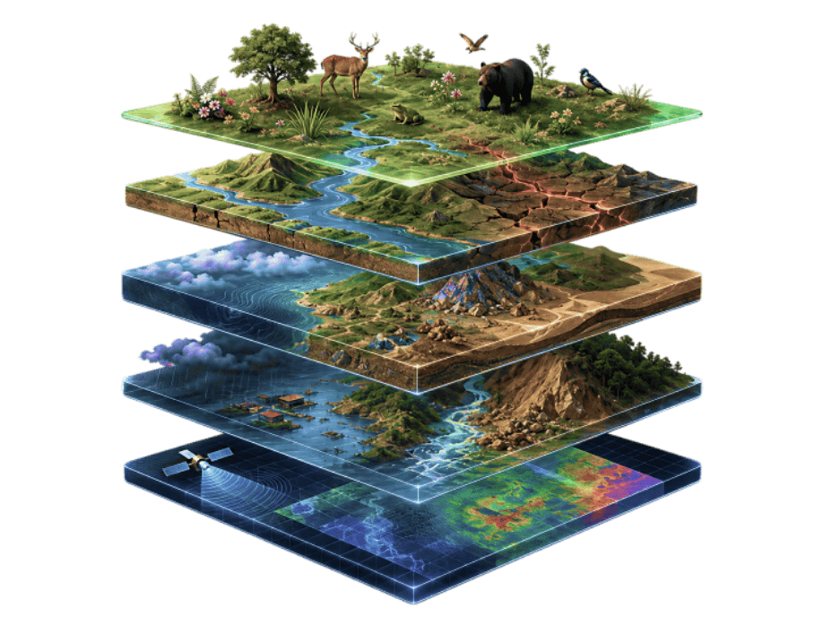
Analyze ecological sensitivity across protected areas, habitats, and surrounding environments.
Assess species sensitivity and biodiversity pressure.
Analyze natural-resource dependencies and changes in environmental pressure by industry.
Assess vulnerability and risk exposure across supply chains and operating sites.
Nature Risk Intelligence Platform
Combine biodiversity, natural sensitivity, and environmental pressure data in a continuously updated nature-risk decision system.
01 · Nature Scanning
Map business sites, assets, and supply-chain locations to define the nature-risk analysis boundary.
02 · Nature Risk Assessment
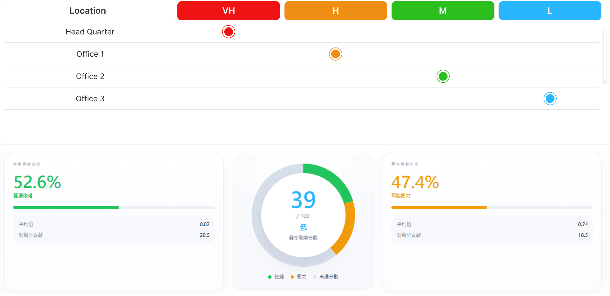
Integrate multiple data sources to quantify natural sensitivity, environmental pressure, and overall exposure.
03 · Nature Change Monitoring
Use satellite imagery to follow environmental and ecological trends and detect abnormal events.
04 · Reporting & Data Integration
Connect reports, inventories, and recommendations through a LEAP-aligned disclosure and management workflow.
Build on TNFD LEAP with continuous monitoring to create CoCoTree's Locate, Assess, Monitor, and Act framework.
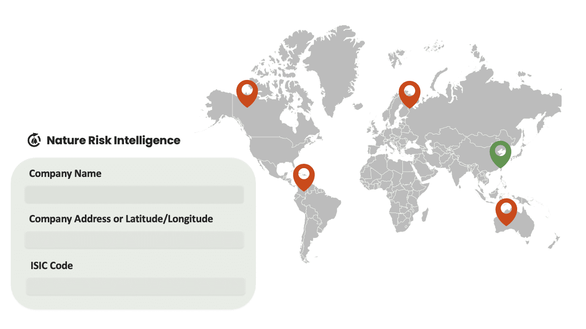
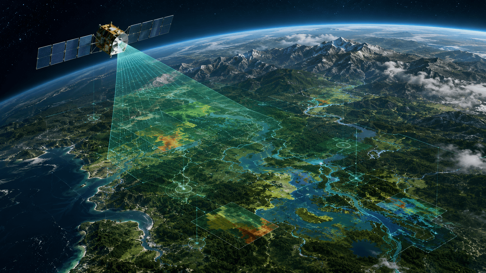
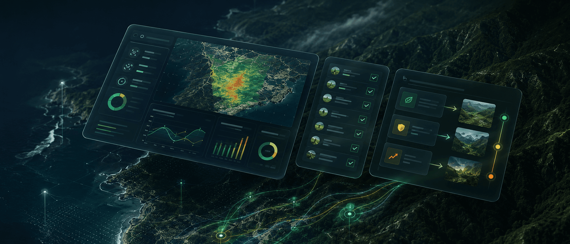
Map business premises, operating sites, and supply-chain locations.
Integrate multiple data sources to quantify natural sensitivity, environmental pressure, and overall risk exposure.
Continuously monitor ecological change and use satellite imagery to track trends and abnormal events.
Provide industry-specific (ISIC) analysis of nature dependency, then produce reports, inventories, and recommendations to support disclosure, management, investment, and policymaking.