
Biodiversity Monitoring
Biodiversity Monitoring &Predictive Analytics
Combine AI, satellite imagery, and local data to analyze species ranges, trends, and risks.
Range analysisTrend trackingRisk hotspot detection
Fuse cross-domain data into actionable ecosystem insights.
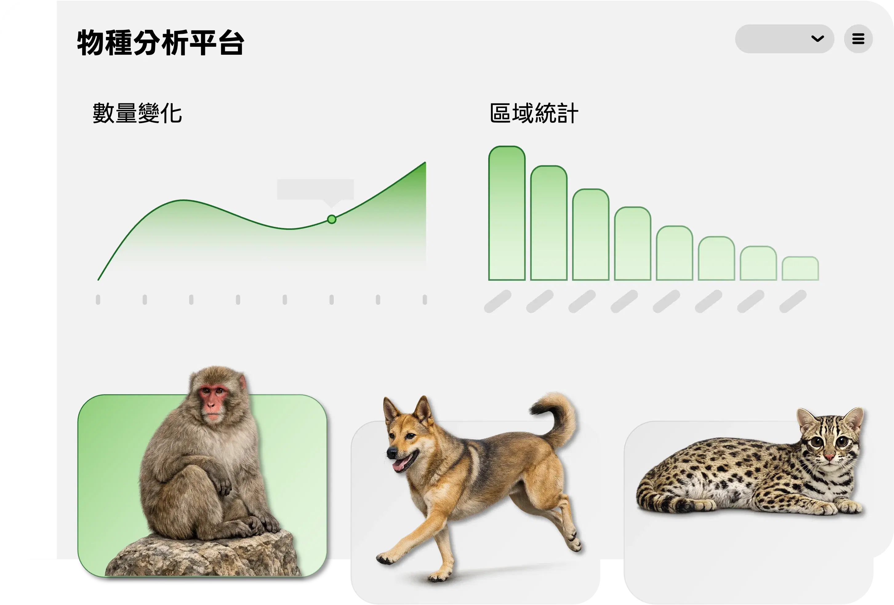
Built for biodiversity monitoring at scale
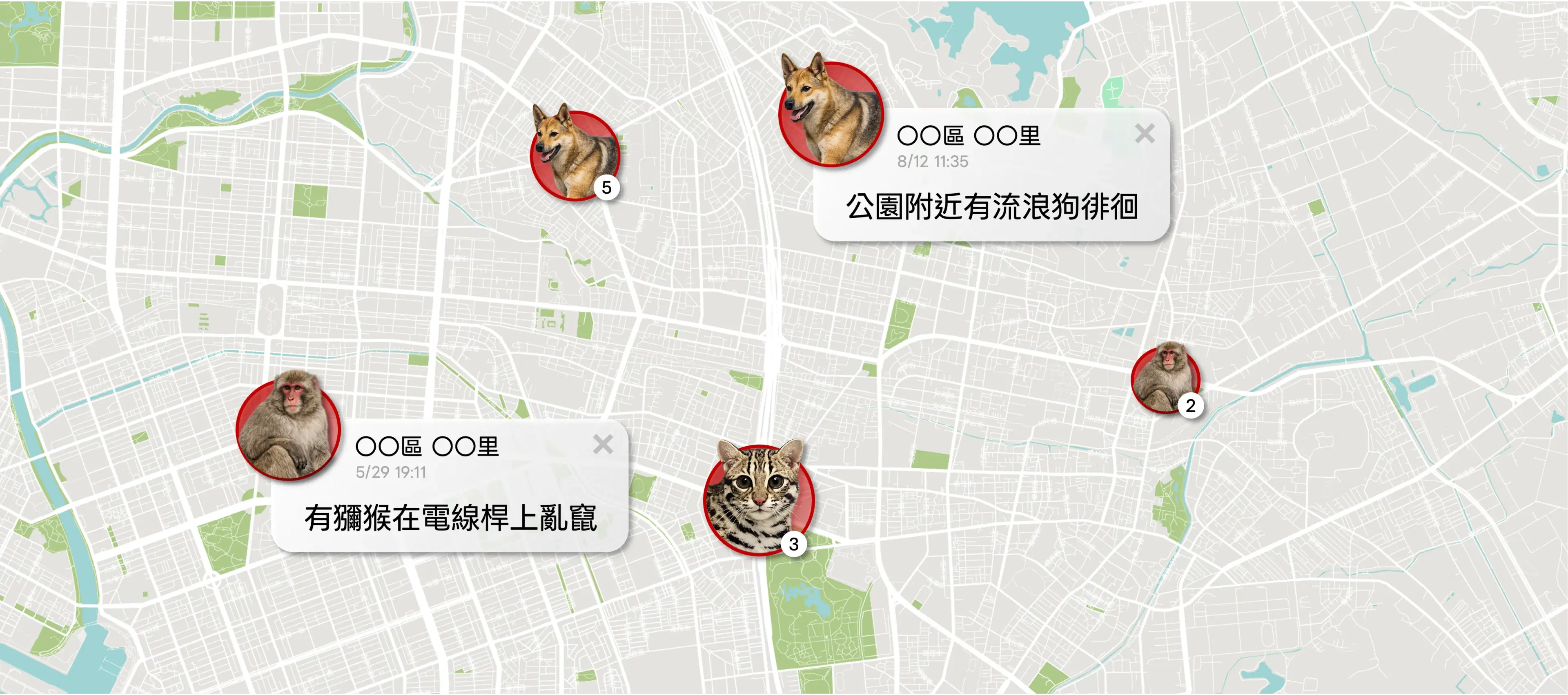
Multi-source ecological data integration
Infrared sensors, camera traps, and citizen science unified in one view.

Wildlife occurrence risk prediction
Satellite + multi-source data networks to forecast occurrence risk.

Human–wildlife conflict risk reduction
Supports early warning systems and governance planning.

Biodiversity conservation
Protect habitats and species with continuous insights.
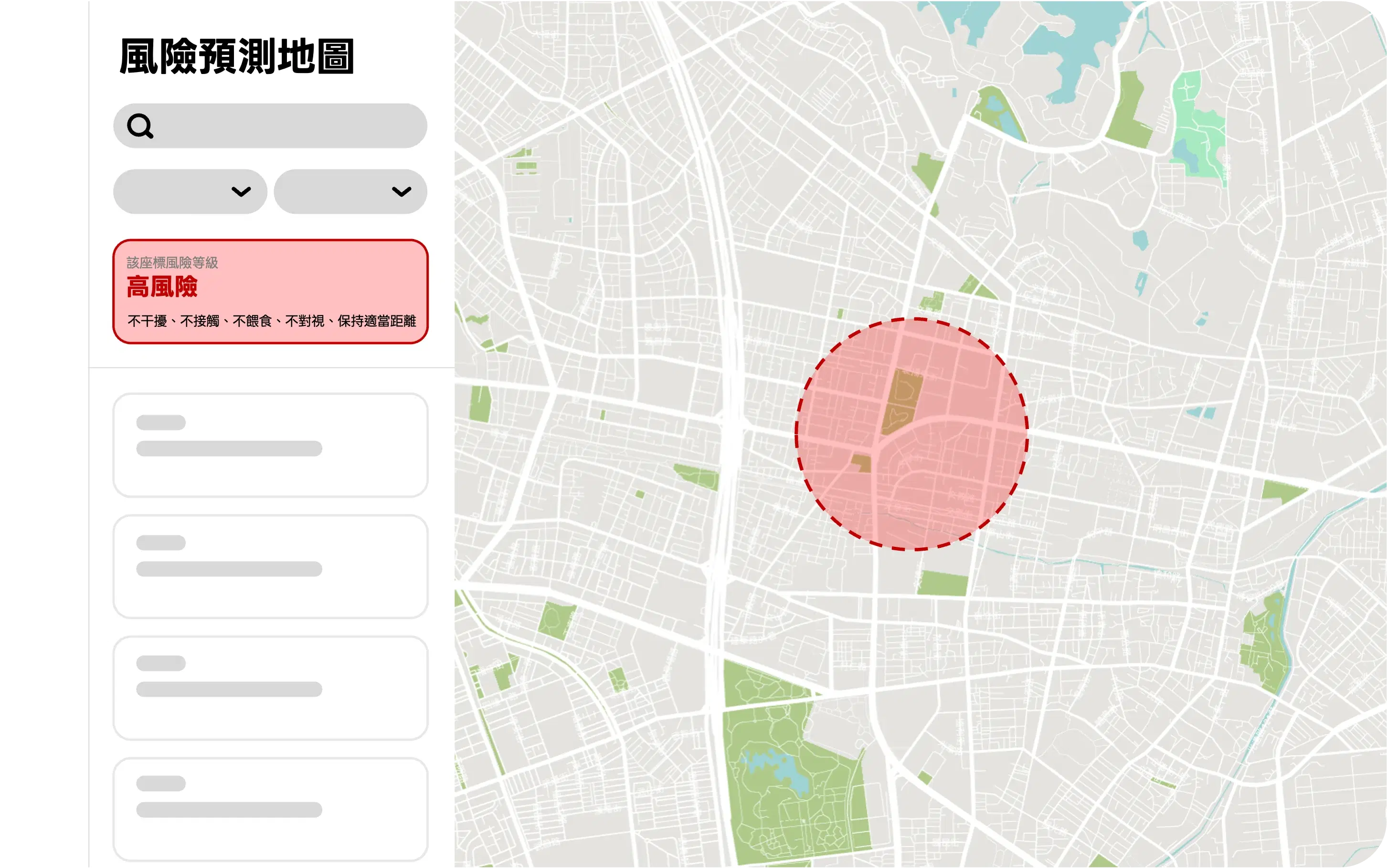
AI-predicted encounter risk levels
Combine satellite data and terrain features to estimate species occurrence probability and conflict risk.
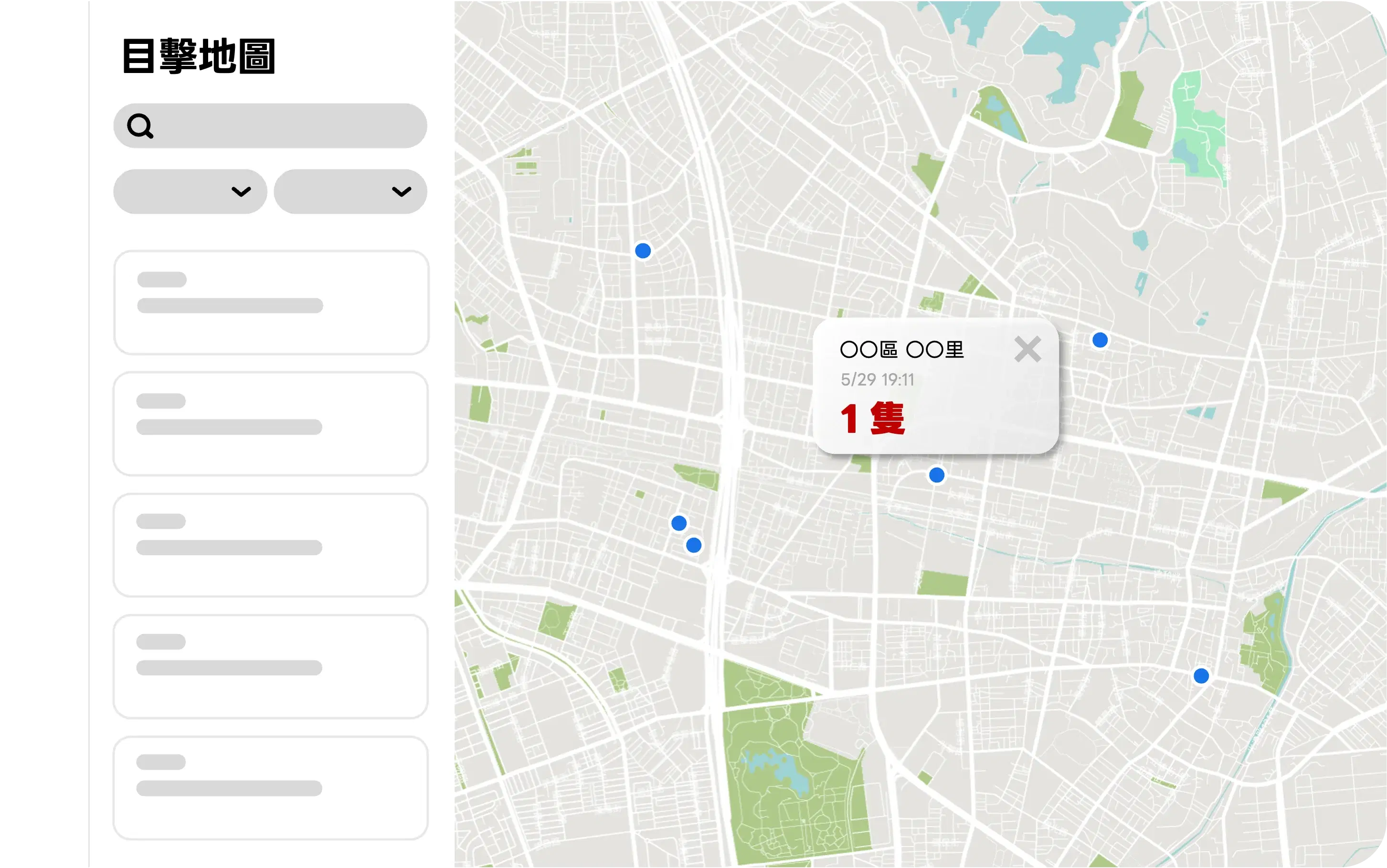
Track sightings in real time through interactive views
Integrate reports, camera traps, and IoT logs to surface the latest encounters as hotspots.
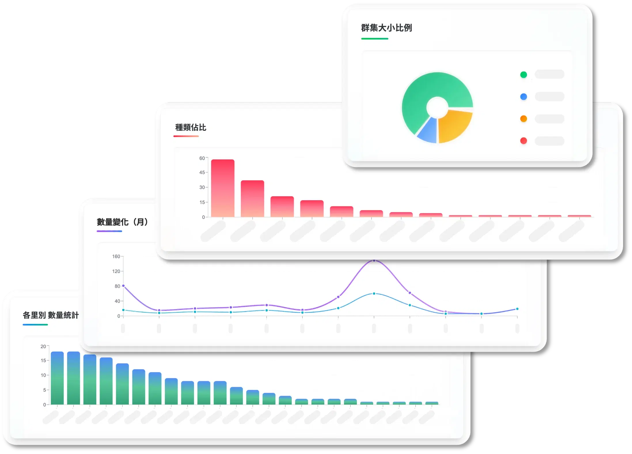
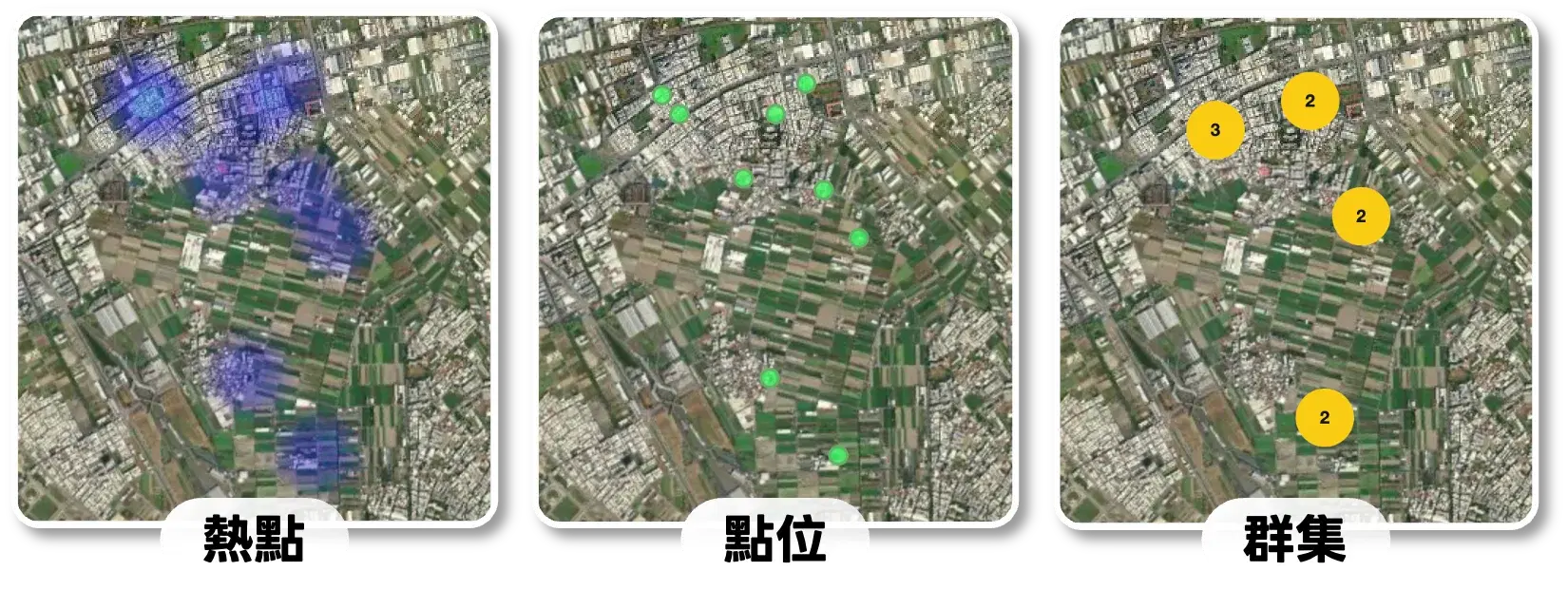
Rapidly locate biodiversity hotspots
Filter by species, time, and region to identify hotspots, clusters, and activity trends.